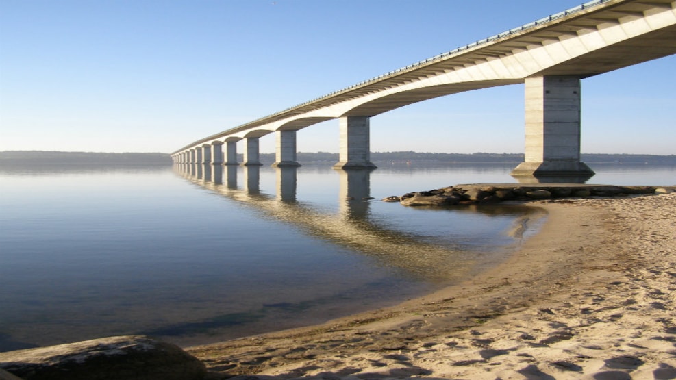
© Photo:
Pinen - Harre Vig - 10,6 km
P: Pinen (N 56° 44.587’, E 8° 51.325’) or Harre Vig (N 56° 41.775’, E 8° 52.988’)
L: 10,6 km
Marking: Yellow
This route runs through some of the prettiest Limfjord sceneries. The route follows the coast through minor cottage areas, interrupted by farming areas, crosses the reclaimed inlet Harre Nor and runs past Nauster (boat houses) from the Viking Period and Harre Vig Golf Course, along remnants from the oxen road and past the ruins of a church from the 12th century.
Find the route here!